Students access
Teachers access  

Username or email:


Password:

Remember me


Register Forgot my password

Log in:

Register Forgot my password Close

Live worksheets > English

Africa Map
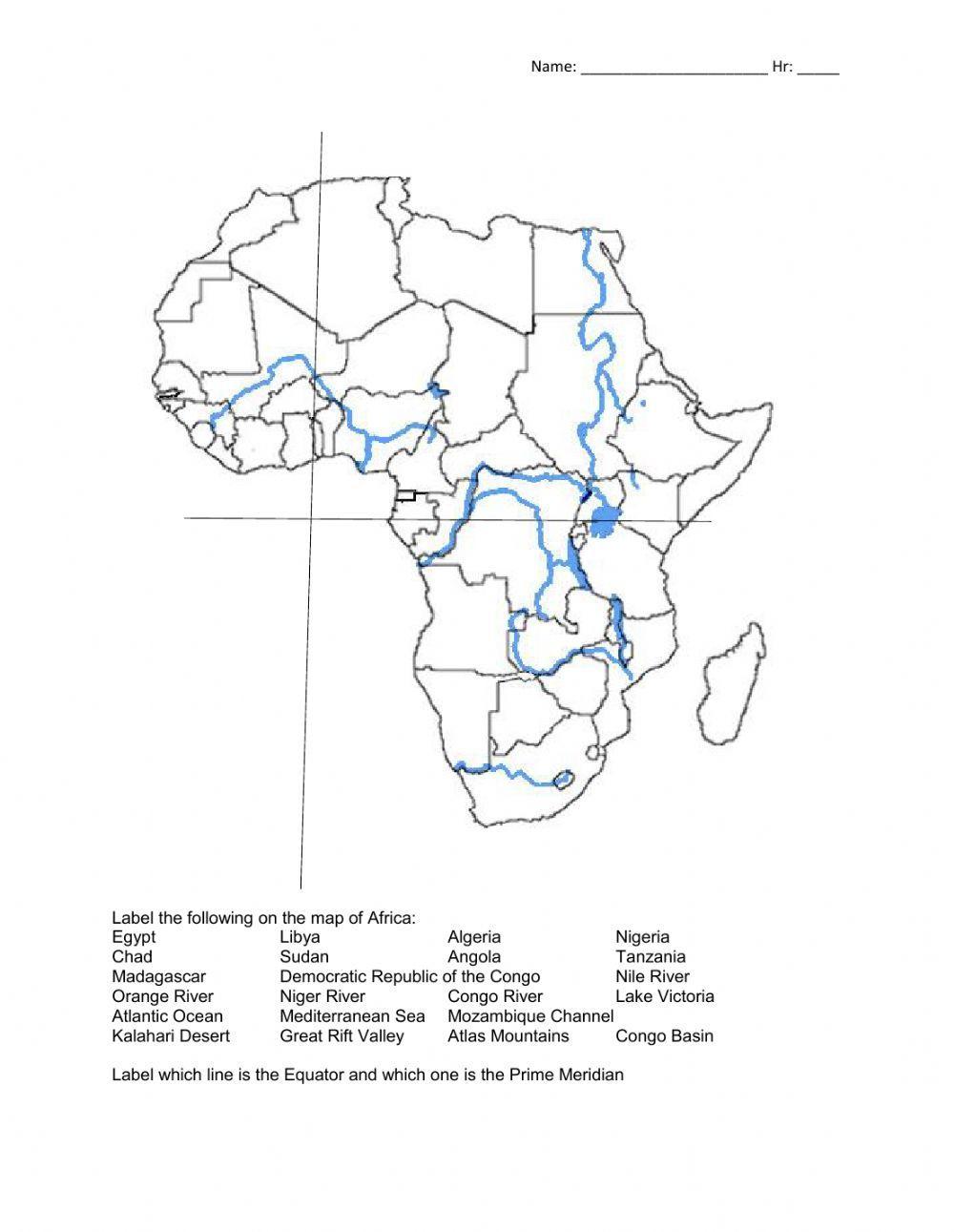
This is a map of Africa that shows some major countries, landforms, and the Equator and Prime Meridian

 
ID: 1352615
Language: English
School subject: Geography
Grade/level: 7
Age: 11-14
Main content: Countries
Other contents: Map
 Add to my workbooks (7)
 Download file pdf
 Embed in my website or blog
 Add to Google Classroom
 Add to Microsoft Teams
 Share through Whatsapp

Link to this worksheet:  Copy

geowill


Finish!!

What do you want to do?

Check my answers Email my answers to my teacher

Cancel


    More Countries interactive worksheets

Interactive worksheet Africa

Africa
by rash1525

Interactive worksheet Countries Around the World

Countries Around the World
by XandraCF

Interactive worksheet South america

South america
by rash1525

Interactive worksheet Countries and capitals quiz

Countries and capitals quiz
by marcelinagonia

Interactive worksheet Middle east

Middle east
by azsvini

Interactive worksheet Australia Map

Australia Map
by geowill

Interactive worksheet South America

South America
by rash1525

Interactive worksheet Central America

Central America
by lizzyduong

Interactive worksheet Country word search

Country word search
by rafik1423

Interactive worksheet Caounry capital quiz

Caounry capital quiz
by DHEERAJ V 2012