New: Give students instant feedback with Practice Mode Learn how
Social Studies
Most Popular
Newest
Oldest
A-Z
Z-A
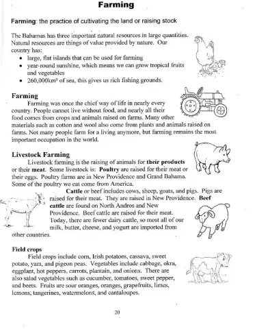
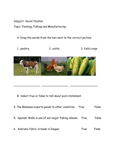
Types of Farming
Islands of The Bahamas
Match each word with its synonym
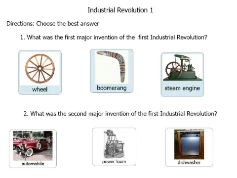
A brief summarize of the Industrial Revolution.
Trinidad and Tobago Republic day worksheet
drop and drag what is safe and what is not
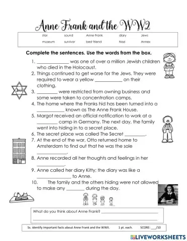
Anne Frank and WWII, World War II, Nazi, Holocaust,
Protecting our natural resources on land
What are the symbols which represent the main religions in Trinidad and Tobago.
Parts Of A Map
UNDERSTANDING THE CONCEPT OF CONNOTATION
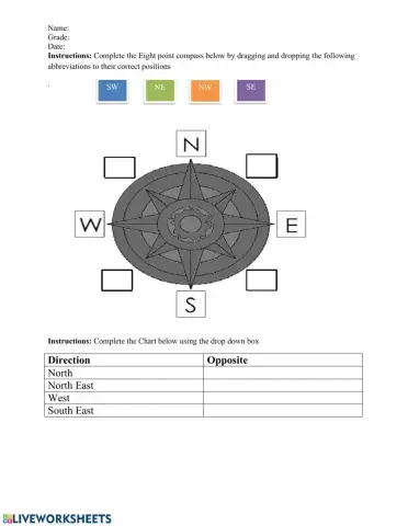
The purpose of this activity is to give students practice with labeling the 8 point compass and using the 8 point compass to give directions of various settlements on a map of The Bahamas.
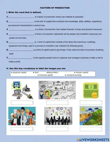
Working with key vocabulary and concepts about the factors of production.
The Bahamas
A natural disaster is a sudden and destructive event caused by the forces of nature.
This worksheet has students relating facts to pictures.
name the different Highland Games
q & a about industrial revolution
Write the notes.
select the correct answer according to the picture
Sir Milo Butler, Mr.Timothy Gibson, Sir Lynden Pindling, Bishop Michael Eldon
sort american symbols pictures
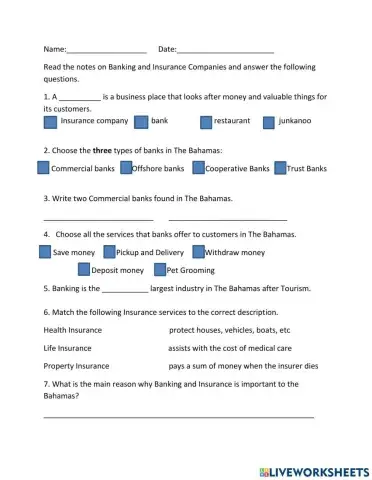
Banking and Insurance


 Switch to New Search Page