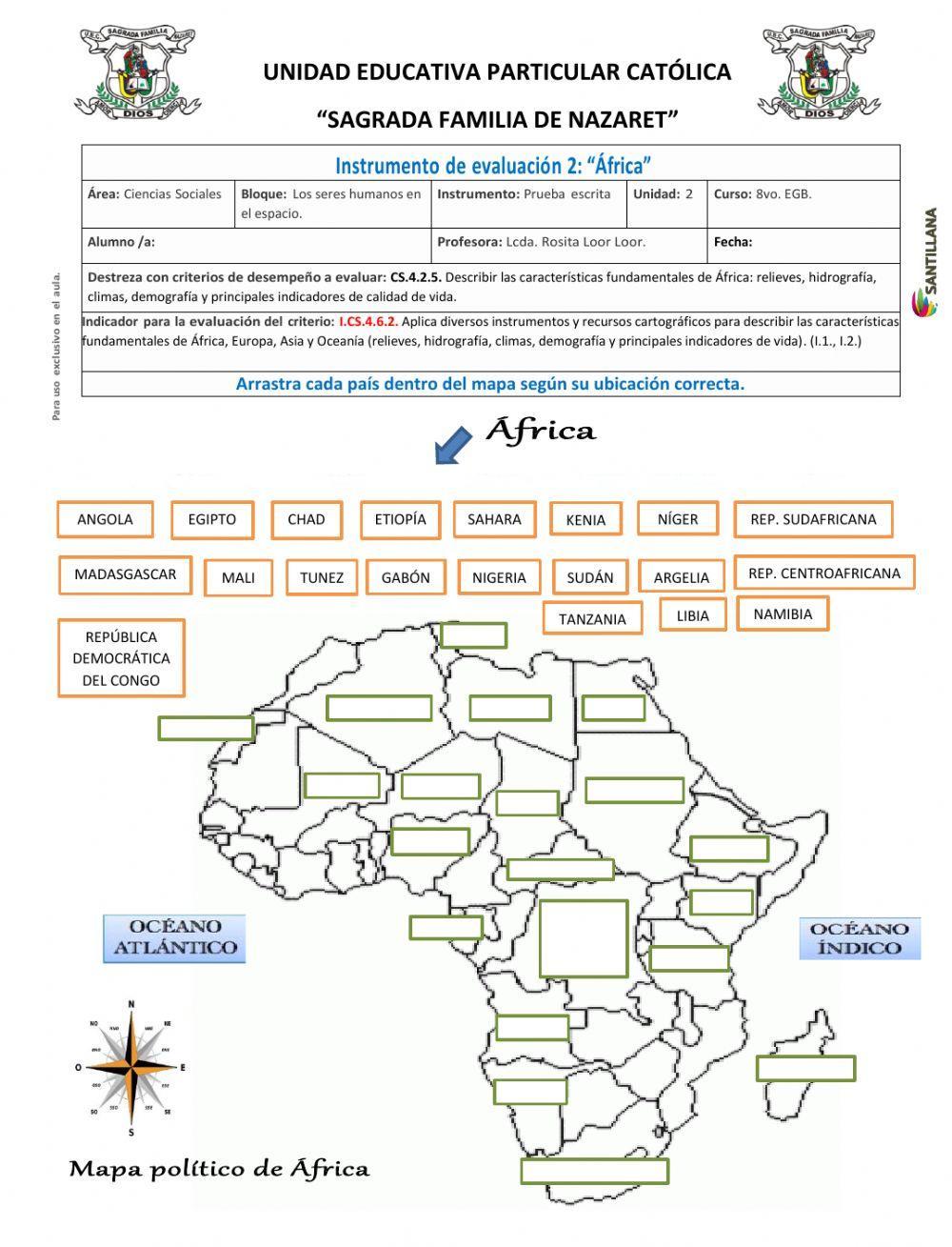
África
Arrastrar los países y ubicarlos dentro del mapa según correspondan.
ID: 1036907 Language: Spanish School subject: Ciencias Sociales Grade/level: 8vo. Año EGB. Age: 11-12 Main content: Mapa político de África Other contents: Instrumento de evaluación tema 2,unidad 2
Add to my workbooks(15) Download file pdf Add to Google Classroom Add to Microsoft Teams Share through Whatsapp
Link to this worksheet:  Copy
romaria16
Finish!!
What do you want to do?
Check my answers
Email my answers to my teacher
Enter your full name:
Group/level:
School subject:
Enter your teacher's email or key code:
Cancel
Please allow access to the microphone
Look at the top of your web browser. If you see a message asking for permission to access the microphone, please allow.